

High-Resolution Digital Terrain Model (DTM) Services – Satpalda Geospatial Solutions
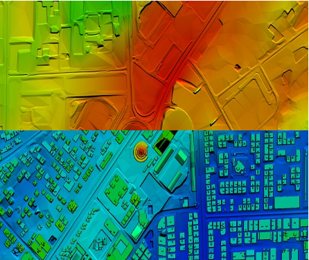
Discover precise and high-quality Digital Terrain Model (DTM) data with Satpalda, a leading geospatial service provider. Enhance your projects in civil engineering, hydrology, and land management with accurate terrain modeling and analysis. For more content us our official website. https://satpalda.co/digital-terrain-model-dtm/
Like


Comment
Share
